Two weeks is exactly enough time to loop the South Island. It is not enough time to do it slowly.
The route below runs about 2,800 km (1,740 miles) from Christchurch, up the east coast to the whale country of Kaikōura, across the top through the Marlborough Sounds, down the wild West Coast to the glaciers, into Fiordland for Milford Sound, then back north through Queenstown, the Catlins, and the Mackenzie Basin. It is the classic circuit, and it works because it never doubles back.
One thing will ruin it if you get it wrong: the drive times. New Zealand roads are narrower, windier, and slower than the distances suggest. A 300 km day is not a two-hour drive. It’s four and a half hours, and that’s before you stop for the view that made you come here.
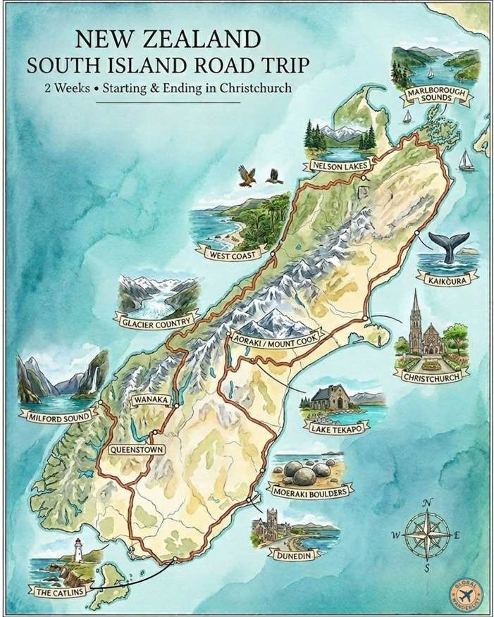
Illustrated map of the 2-week New Zealand South Island road trip route, a loop starting and ending in Christchurch
New Zealand Road Trip Idea: Route overview
| Stop | Distance from previous | Drive time | Nights |
| Christchurch | — | — | 1 |
| Kaikōura | 180 km (112 mi) | 2h20 | 1 |
| Marlborough Sounds | 156 km (97 mi) | 2h15 | 1–2 |
| Nelson Lakes | 129 km (80 mi) | 1h45 | 1 |
| The West Coast | 158 km (98 mi) | 2h15 | 1–2 |
| Glacier Country | 135 km (84 mi) | 2h | 2 |
| Wanaka | 262 km (163 mi) | 3h15+ | 1–2 |
| Te Anau & Milford Sound | 227 km (141 mi) | 3h | 2 |
| Queenstown | 172 km (107 mi) | 2h10 | 2 |
| The Catlins | 265 km (165 mi) | 3h10 | 1 |
| Dunedin | 180 km (112 mi) | 2h30 | 1 |
| Moeraki Boulders | 75 km (47 mi) | 55 min | — |
| Aoraki / Mount Cook | 250 km (155 mi) | 3h | 1 |
| Lake Tekapo | 104 km (65 mi) | 1h20 | 1 |
| Christchurch | 225 km (140 mi) | 3h | — |
Drive times are no-stop estimates. Add 20 to 40 percent for a real touring pace, and plan no more than four to five hours behind the wheel on any given day. Here are all the stops that are part of our New Zealand road trip idea:
Stop 1: Christchurch
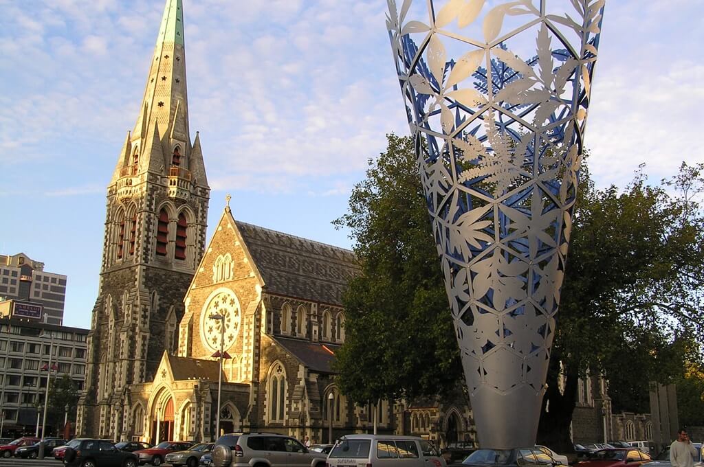
Stay: 1 night · Book ahead: nothing
Most people land here, collect a car, and leave the same day. Give it a night instead, mostly to sleep off the flight before driving on the left.
- Botanic Gardens and Hagley Park, both free, and worth an unhurried morning.
- Cardboard Cathedral and the 185 Empty Chairs memorial, which together say more about the 2011 earthquake than any museum.
- Gondola up the Port Hills for the first real view of the Canterbury Plains.
Stop 2: Kaikōura
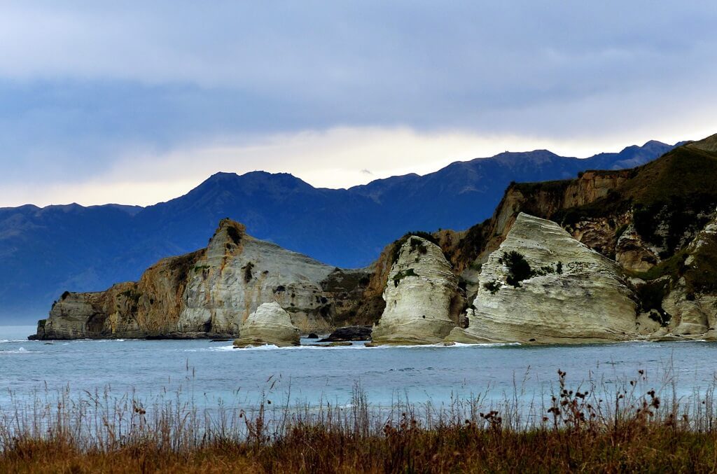
Drive from previous stop: 180 km (112 miles), about 2 hours 20 minutes · Stay: 1 night · Book ahead: whale watching, 1–3 weeks in summer
A seabed canyon drops away just offshore, which is why sperm whales are here year-round and why the town smells permanently of crayfish.
- Whale Watch Kaikōura runs boat tours all year. Take the morning sailing. It sells out first, and the sea is calmest.
- Dolphin Encounter lets you swim with dusky dolphins. Minimum age is 8.
- Point Kean seal colony is free and you will get closer than you expect. Stay 10 m back.
Every boat tour here is weather-dependent. Book the earliest slot of your stay so a cancellation still leaves you a second chance.
One correction worth having: the Ōhau Stream waterfall walk, where seal pups famously played in a pool, has been closed since the 2016 earthquake. Only the roadside lookout remains open. Plenty of blogs still send people up the track.
Stop 3: Marlborough Sounds
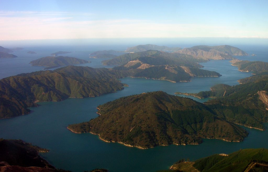
Drive from previous stop: 156 km (97 miles), about 2 hours 15 minutes · Stay: 1–2 nights · Book ahead: water taxis in summer
The road from Kaikōura runs the coastal cliffs and takes longer than the distance implies. Base yourself in Picton.
- Walk a day section of the Queen Charlotte Track, using a water taxi to drop you at one end.
- Beachcomber mail boat cruise out of Picton delivers post to houses reachable only by sea. It runs about four hours, Monday to Saturday.
- Blenheim, 30 minutes south, is the heart of New Zealand Sauvignon Blanc.
Stop 4: Nelson Lakes
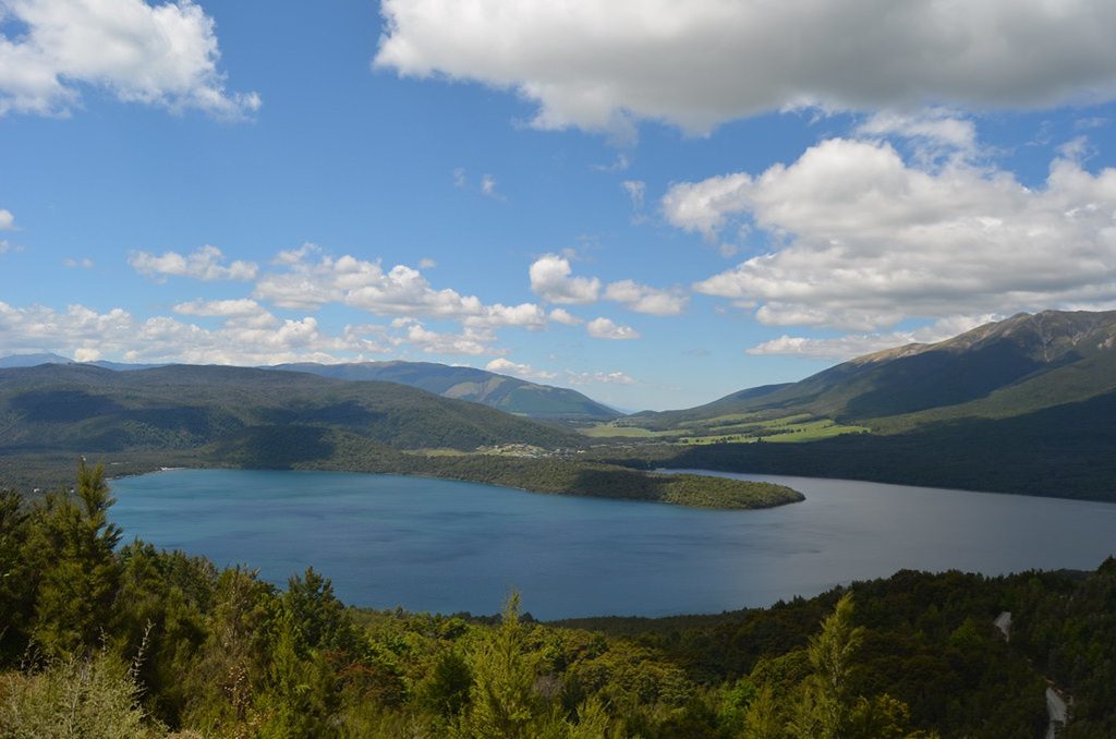
Drive from previous stop: 129 km (80 miles), about 1 hour 45 minutes · Stay: 1 night
St Arnaud is a village on the edge of Lake Rotoiti, and the jetty there is the most photographed piece of timber in the country. It costs nothing and takes five minutes.
- Kerr Bay short walks, thick with birdsong from the surrounding beech forest.
- Mount Robert Circuit, about 7.5 km and three to four hours, for the view down the lake.
- Water taxi across the lake, if the weather holds.
Stop 5: The West Coast
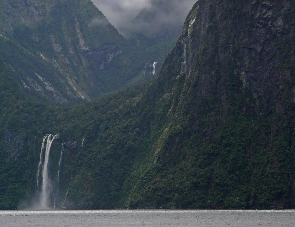
Drive from previous stop: 158 km (98 miles) to Westport, about 2 hours 15 minutes · Stay: 1–2 nights
The road through the Buller Gorge is winding and has several one-lane bridges. Fuel at Murchison. From Westport the coast road runs south past Punakaiki to Hokitika.
- Pancake Rocks at Punakaiki, a 20-minute loop. Time your arrival for high tide or the blowholes do nothing.
- Hokitika Gorge, where the water is an improbable turquoise.
- Hokitika town, for pounamu (greenstone) carved by people who know what they’re doing.
The West Coast is where the one-lane bridges get serious. A red-bordered circular sign with a small red arrow means you give way. A blue rectangle means you have priority, and you should still slow down.
Stop 6: Glacier Country
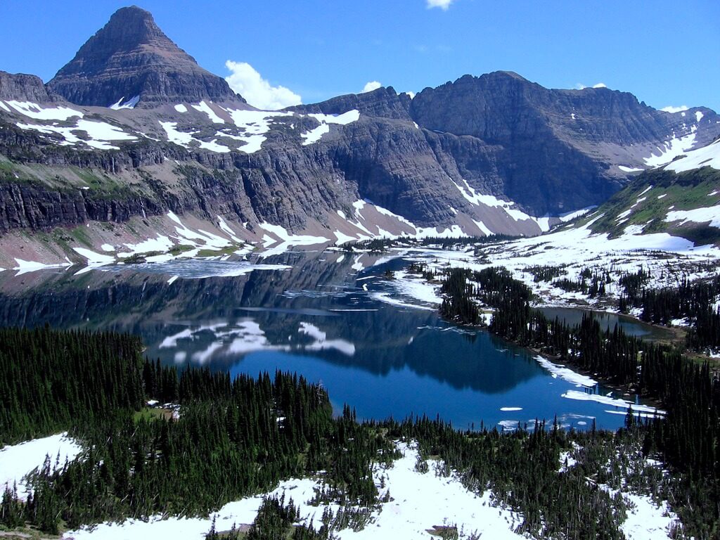
Drive from previous stop: 135 km (84 miles) from Hokitika, about 2 hours · Stay: 2 nights · Book ahead: heli-hike, essential
Franz Josef and Fox Glacier sit 24 km apart, half an hour of driving.
Here is the fact that most itineraries omit: you can no longer walk onto the glacier unguided. The free valley walks reach a viewpoint and stop there. The only way onto the ice is a guided heli-hike, and it costs around NZD $700–800 per person.
It is also weather-dependent to a punishing degree. The West Coast cancels roughly half of all flights. You need a four-hour clear window. That is why you stay two nights, book the earliest slot, and keep the second morning as a spare. Fox sometimes flies when Franz is grounded, so ask.
- Lake Matheson’s reflection loop, about 90 minutes, best at dawn when the water is still.
- The free glow-worm walk in Franz Josef village after dark.
Stop 7: Wanaka
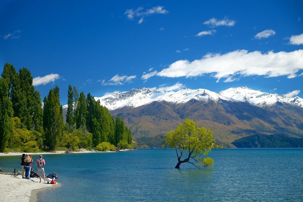
Drive from previous stop: 262 km (163 miles), about 3 hours 15 minutes without stops, closer to 4 with them · Stay: 1–2 nights
This is the longest driving day on the route, running the wild coast to Haast and then climbing over Haast Pass. Fill the tank at Haast. The next certain fuel is Wanaka, more than 100 km on.
Break the drive at the Blue Pools near Makarora. Then:
- Roys Peak, about 16 km return and five to seven hours, brutally exposed and worth it. The famous viewpoint comes before the summit. The track closes from 1 October to 10 November for lambing.
- That Wanaka Tree, free, five minutes, and precisely as crowded as you fear.
- Rippon Vineyard, on a slope above the lake.
Stop 8: Te Anau and Milford Sound
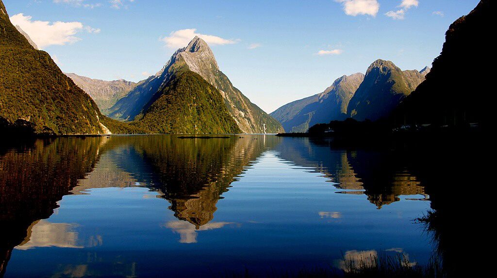
Drive from previous stop: 227 km (141 miles) to Te Anau, about 3 hours · Stay: 2 nights in Te Anau · Book ahead: the cruise, and the overnight cruise months ahead
Sleep in Te Anau, not Queenstown. The Milford day-trip from Queenstown is a 12- to 13-hour ordeal, and people who call Milford Sound overrated are almost always describing that day.
Milford Sound is 121 km from Te Anau and takes 2 hours 15 minutes each way. Give it the whole day. The road is the other half of the experience: Mirror Lakes, the Eglinton Valley, the Chasm. The Homer Tunnel is single-lane on timed lights and the wait runs up to 20 minutes.
Leave Te Anau before 7am to get ahead of the coach convoy. There is no fuel between Te Anau and Milford, so a 242 km round trip on one tank.
- Day cruise runs about two hours and costs roughly NZD $130–175. The scenery is identical across operators, so book on time, not brand.
- Overnight cruise is the one worth planning around. It anchors in Harrison Cove, there is kayaking, and you wake to an empty fiord. It sells out months ahead.
Milford is the wettest inhabited place in New Zealand, with rain on about 182 days a year. Rain is not a ruined day here. It turns the cliffs into hundreds of waterfalls.
And the sandflies are not a joke. Bring 40 percent DEET. They ignore you while you walk and find you the instant you stand still.
The Milford Underwater Observatory has been closed since storm damage in September 2024. It is still listed as an attraction on a surprising number of sites.
Stop 9: Queenstown
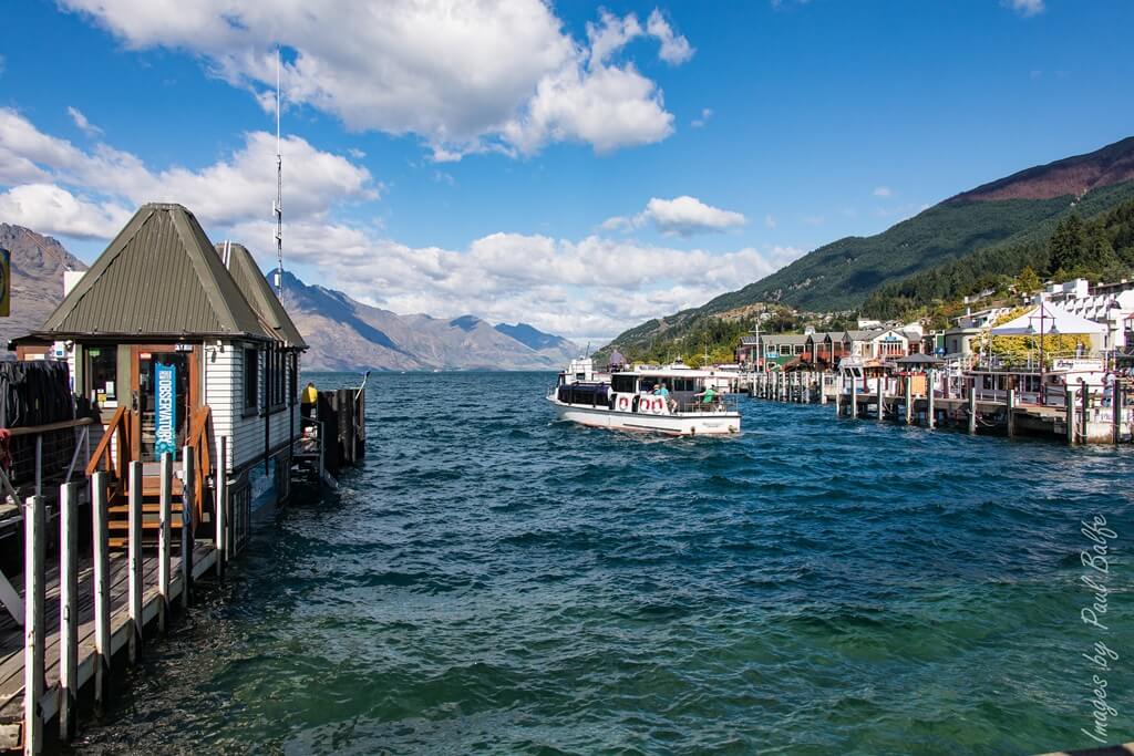
Drive from previous stop: 172 km (107 miles), about 2 hours 10 minutes · Stay: 2 nights · Book ahead: the Earnslaw, Skyline in peak season
Queenstown is a resort town that has never once been accused of subtlety.
- Kawarau Bridge bungy, the world’s first, 43 m, about NZD $235.
- Shotover Jet through the canyon.
- Skyline gondola and luge, for the view rather than the luge.
- TSS Earnslaw, a 1912 coal-fired steamship, across the lake to Walter Peak.
Drive to Wanaka and back over the Crown Range if the weather is clear. At about 1,076 m it is the highest sealed road in the country. In winter it ices over, and large campervans should take the Cromwell route instead.
Stop 10: The Catlins
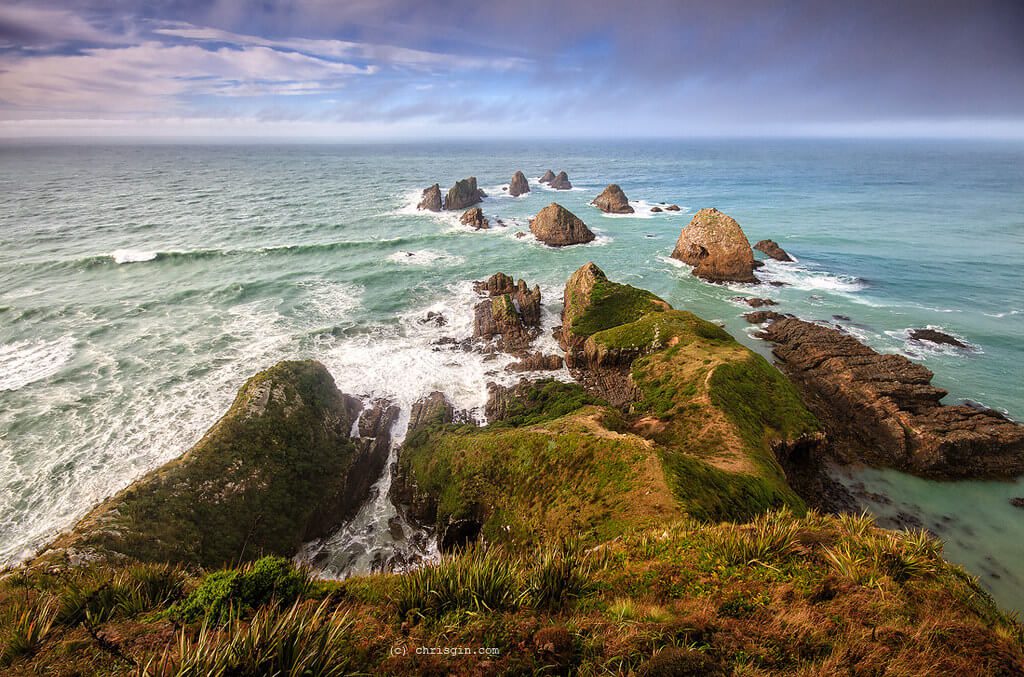
Drive from previous stop: 265 km (165 miles), about 3 hours 10 minutes · Stay: 1 night
The Catlins is where the kilometres lie hardest. The Southern Scenic Route is narrow, and the good things sit at the end of gravel spurs. Fuel at Balclutha, Owaka, or Invercargill. Cell coverage is patchy.
- Nugget Point lighthouse, a 20-minute return walk above rock stacks and seals.
- Curio Bay’s petrified forest, visible only at low tide, with Hector’s dolphins in Porpoise Bay next door.
- Purakaunui Falls, 20 minutes return.
- Cathedral Caves, which need three things to line up: the season (roughly late October to April), low tide (the gate opens about two hours before and closes an hour after), and NZD $15 by card. Older guides quoting $5 are out of date.
Stop 11: Dunedin
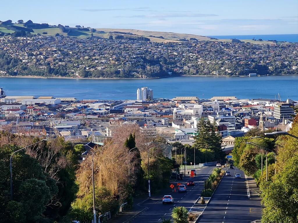
Drive from previous stop: 180 km (112 miles), about 2 hours 30 minutes · Stay: 1 night · Book ahead: albatross and penguin tours
A Scottish city at the bottom of the world, with a wildlife peninsula attached.
- The Royal Albatross Centre at Taiaroa Head, the only mainland breeding colony of northern royal albatross anywhere. Guided tour only, fixed times, sells out.
- Penguin tours on the peninsula, either the little blues at Pukekura or the rare yellow-eyed at Penguin Place.
- Baldwin Street, still the world’s steepest residential street, and free to walk up if you must.
Cadbury World closed in 2018 and the site is now a hospital. Blogs still send people there. Try OCHO instead.
Stop 12: Moeraki Boulders
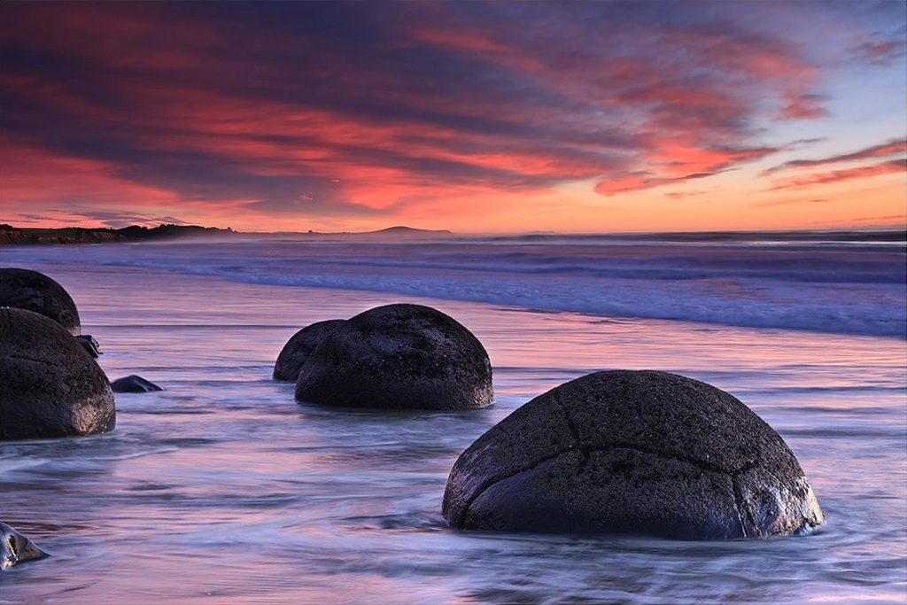
Drive from previous stop: 75 km (47 miles), about 55 minutes · Stay: stop en route
Spherical boulders scattered on Koekohe Beach, and the only thing that matters is the tide. Come within an hour of low tide or you’ll photograph the sea.
Kātiki Point lighthouse is a few minutes away, with yellow-eyed penguins and fur seals before 9am or after 3pm.
Fleur’s Place, the restaurant every guide recommends, closed permanently in June 2024.
Stop 13: Aoraki / Mount Cook
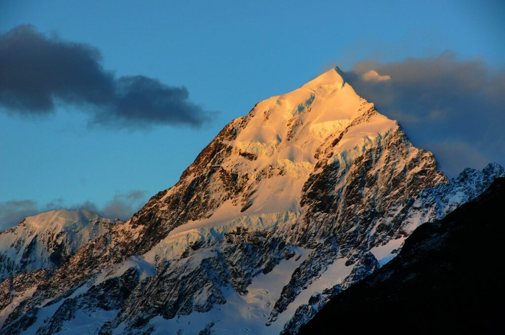
Drive from previous stop: about 250 km (155 miles) via Ōamaru, roughly 3 hours · Stay: 1 night · Book ahead: Glacier Explorers, seasonal
The village sits at the end of a 55 km dead-end spur along the impossible blue of Lake Pukaki. Fuel at Twizel before you turn in.
- Hooker Valley Track, about 10 km return, three to four hours, mostly flat, three swing bridges, and the country’s best walk-to-effort ratio. Check the DOC page before you go: the upper swing bridge has been under reconstruction, with a new 189 m span due around late July 2026.
- Tasman Glacier viewpoint, and the Glacier Explorers boat among the icebergs, which runs September to June only.
- Sir Edmund Hillary Alpine Centre, the correct move on a wet day.
This is the Aoraki Mackenzie Dark Sky Reserve. Look up.
Stop 14: Lake Tekapo
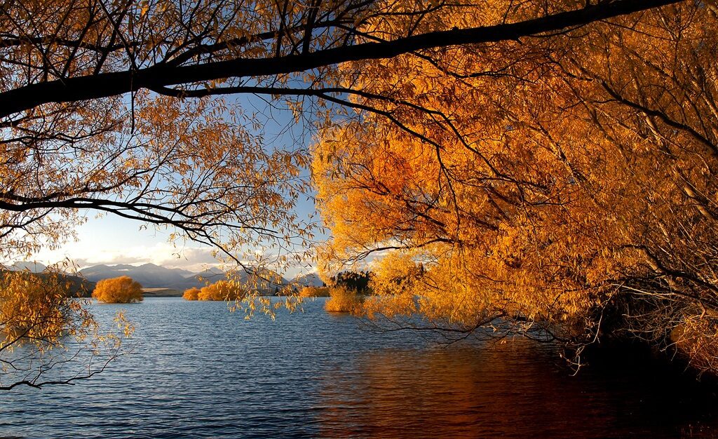
Drive from previous stop: 104 km (65 miles), about 1 hour 20 minutes · Stay: 1 night · Book ahead: Mt John stargazing
- Church of the Good Shepherd, free from outside. Photography inside is banned. It is a working church, not a set.
- Dark Sky Project tour up Mt John, about NZD $209, ages 10 and up, weather-dependent, booking essential.
- Tekapo Springs, hot pools, for the legs.
The lupins bloom from late November, peaking in early December. They are also an invasive pest, which nobody mentions on Instagram.
From Tekapo it’s about 225 km (140 miles) and three hours back to Christchurch.
Best time to drive the South Island
February to April is the sweet spot. Settled weather, everything open, and the school holidays are over. April brings autumn colour to Central Otago.
November is the other good answer: sunny, uncrowded, and the lupins are starting.
December to February is peak. Warmest weather, longest days, highest prices. Christmas to New Year is the busiest and most expensive window of the year.
June to August is ski season. Queenstown and Wanaka are at their best, rentals are cheapest, and the alpine passes ice over. Milford Road closes about eight days a year, mostly in winter.
Milford has no dry month. Expect rain, and expect it to improve the place.
Driving in New Zealand: what actually matters
Drive on the left. The most common tourist accident is drifting right after a turn or a car park.
Your licence. An overseas licence works for up to 18 months. If it isn’t in English, carry an approved translation or an International Driving Permit alongside it.
The whole loop is sealed and fine in a 2WD. No part of this route needs a four-wheel drive.
Chains matter in two places in winter: the Milford Road (SH94) and the Crown Range. Driving past a chains-required sign carries a fine of about NZD $750.
Fuel gaps that catch people out: Haast to Wanaka. Te Anau to Milford and back. The Mount Cook spur, so fill at Twizel. The Catlins generally.
Car or campervan? For a two-week loop with booked beds, a car is cheaper to run, easier on the winding roads, and far easier to park. A campervan buys freedom, but since 7 June 2026 freedom camping requires a certified self-contained vehicle with a permanently fixed toilet. A portable one no longer qualifies. Fines run to NZD $1,000. Confirm any rental is certified before you take it.
Budget. Roughly NZD $2,300–2,800 for a couple sharing, camping and self-catering. Around NZD $5,000–7,000 for two with motels, restaurants, and the big-ticket activities. The heli-hike and the stargazing are the two line items that move the total.
Frequently asked questions
Is two weeks enough? Yes, for the full loop, but it is the minimum, not a leisurely pace. You’ll spend one or two nights per stop and drive most days. A week covers a slice of the island, not a circuit.
Should I go clockwise or anticlockwise? It barely matters. Two real tie-breakers: drive the coastal stretches so the left lane is the sea side, and chase the weather, since the west is wet and the east is dry.
Can I day-trip to Milford Sound from Queenstown? You can, and it will take 12 to 13 hours. Stay in Te Anau instead, two hours from Milford rather than four. If you must go from Queenstown, take a coach-and-cruise package and let someone else drive.
How far ahead do I need to book? Accommodation, summer rental cars, and the Milford overnight cruise sell out months ahead from November to March. Standard Milford day cruises need little notice. Whale watching wants one to three weeks in summer. The heli-hike wants a booking and a spare morning.
Is driving here hard? Not hard, but slower than the map says. Two-lane roads, one-lane bridges, mountain passes. Pad every estimate and cap yourself at four or five hours a day. Three hundred kilometres can take four and a half hours.
What about the sandflies? They are as bad as people say, on the West Coast and throughout Fiordland. Forty percent DEET, long sleeves, and the knowledge that they cannot bite through fabric.
Planning the other island loop? The Tasmania caravan road trip covers similar ground: an island circuit, campervan culture, and drive times that deceive. For a route where the driving is easy and the booking is the hard part, see the 2-week Italy road trip.